Storms River mouth
A deep river gorge meets rocky coastline beneath dense forest.
Plan the least frequent boat, ferry or exposed coastal section first. Use early or late light and keep a weather alternative during Sep-May.
Dense coastal forest, river mouths and wave-cut cliffs meet the Indian Ocean along South Africa’s southern Garden Route.
A deep river gorge meets rocky coastline beneath dense forest.
Plan the least frequent boat, ferry or exposed coastal section first. Use early or late light and keep a weather alternative during Sep-May.
The details that make Tsitsikamma different.
A deep river gorge meets rocky coastline beneath dense forest.
Long-distance paths reveal cliffs, forest and small coves away from road viewpoints.
The coastline is important below the waterline as well as on land.
Dense coastal forest, river mouths and wave-cut cliffs meet the Indian Ocean along South Africa’s southern Garden Route. Its character becomes clearer when geology, settlement and modern protection are considered together.
Tsitsikamma occupies a narrow strip between the Tsitsikamma Mountains and the Indian Ocean. The coast is less about beaches than about forest, rocky shore, river gorges and long views over powerful open water.
Visitors often encounter Tsitsikamma through the idea of “Storms River mouth”, but the destination is more than that single scene. Its landscape carries evidence of work, movement, adaptation and environmental change. A deep river gorge meets rocky coastline beneath dense forest.
Continue to practical planningBefore roads, settlements or protected-area boundaries, the terrain of Tsitsikamma set the basic terms. Evergreen forest reaches close to the cliffs, with streams and rivers cutting steep routes toward the sea. Storms River mouth provides the best-known concentration of this terrain, but the wider coast extends the same pattern over many kilometres.
Routes and settlements at Tsitsikamma follow the water system even when the map emphasises roads. “Storms River mouth” exposes that older logic. A deep river gorge meets rocky coastline beneath dense forest.
Tsitsikamma has been shaped as much by livelihoods and movement as by natural processes. Forestry, small towns and tourism shape the inhabited edge of the region. Walking routes and marine protection have made the coast accessible while retaining a strong sense of continuous natural cover.
A close look at “Coastal trail network” makes the cultural layer of Tsitsikamma more concrete. Long-distance paths reveal cliffs, forest and small coves away from road viewpoints. At Tsitsikamma, the surviving form links present-day identity with earlier work and settlement.
The decisive modern change at Tsitsikamma was access. At Tsitsikamma, transport and visitor infrastructure made the landscape easier to reach while concentrating pressure at the few points where roads, boats or trails enter it. Tsitsikamma should therefore be read as an evolving cultural landscape rather than a timeless scene.
At Tsitsikamma, the significance of the feature “Storms River mouth” goes beyond its visual impact. A deep river gorge meets rocky coastline beneath dense forest. At Tsitsikamma, it gives a concrete reference point for reading change rather than merely collecting viewpoints.
At Tsitsikamma, the significance of the feature “Coastal trail network” goes beyond its visual impact. Long-distance paths reveal cliffs, forest and small coves away from road viewpoints. Within Tsitsikamma, it is both an attraction and a record of the processes described above.
At Tsitsikamma, the significance of the feature “Marine protected waters” goes beyond its visual impact. The coastline is important below the waterline as well as on land. Within Tsitsikamma, it is both an attraction and a record of the processes described above.
A single visit to Tsitsikamma captures only one phase of its annual cycle. Conditions are relatively mild through the year. Spring and autumn often provide comfortable walking weather, while summer is warmer and can be busier. Rain is possible in all seasons.
For Tsitsikamma, the main seasonal constraint is: the strongest planning window is Sep-May. For Tsitsikamma, outside it, check weather, daylight, road or ferry schedules and seasonal closures before committing to a fixed route.
For Tsitsikamma, one practical detail matters: cloud, wind and trail conditions can change quickly. For Tsitsikamma, put the highest or most exposed stop first and keep a lower-level alternative.
Placed within its wider geography, Tsitsikamma is not an isolated exception. Tsitsikamma forms the eastern end of the Garden Route and connects with the Baviaanskloof interior, Plettenberg Bay and the forests around Knysna. For Tsitsikamma, the broader region shows how sharply South Africa’s south coast shifts between marine and mountain systems.
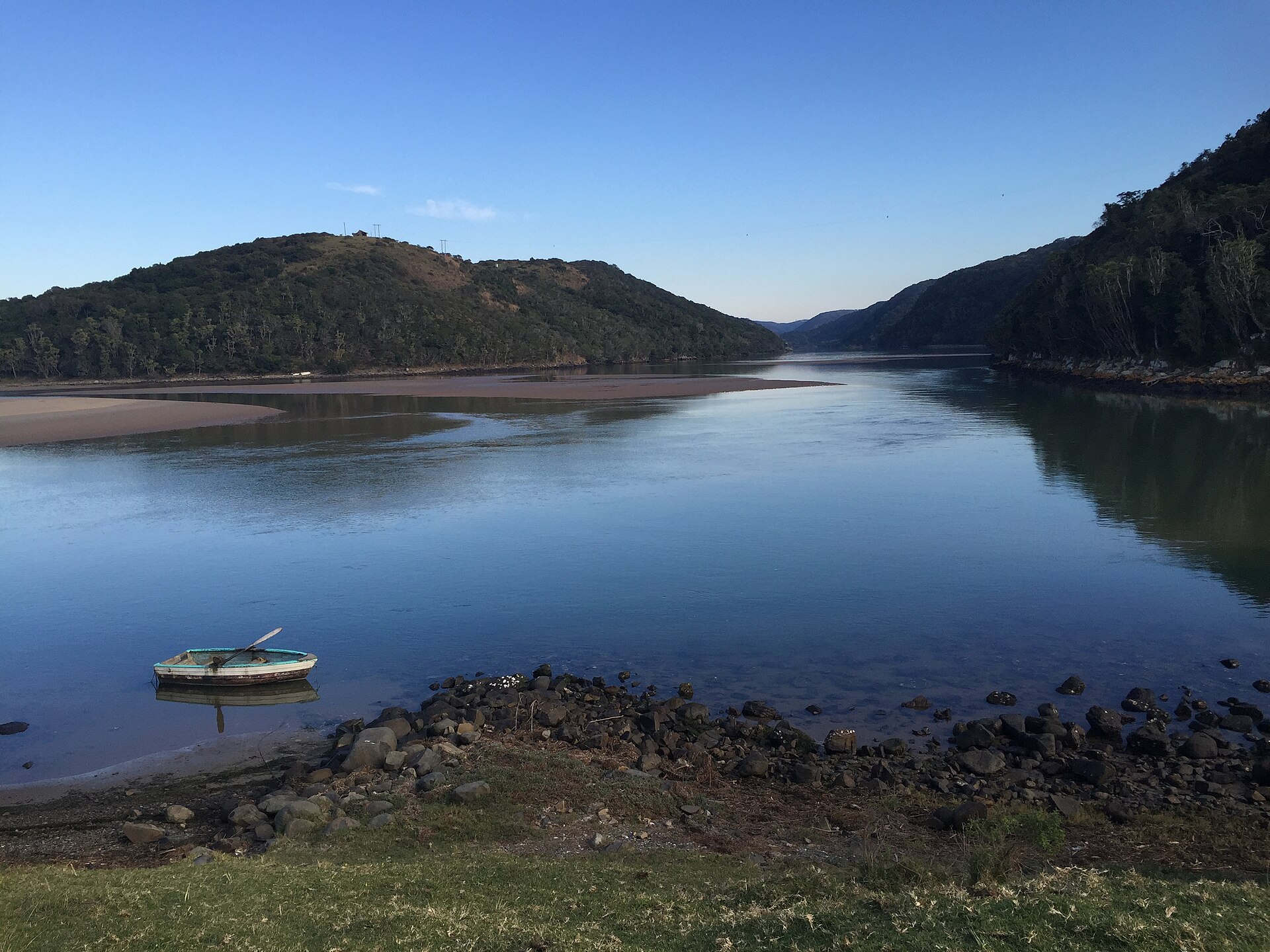
Grass-covered hills, river mouths, cliffs and dispersed Xhosa settlements meet along a long, lightly urbanised section of South Africa's eastern coast.
Explore this place
Folded mountains, dry valleys, river crossings and isolated farms create a long wilderness corridor through South Africa’s Eastern Cape.
Explore this place
Sandstone arches, dry mountain valleys and rock art create a rugged landscape north of Cape Town.
Explore this place