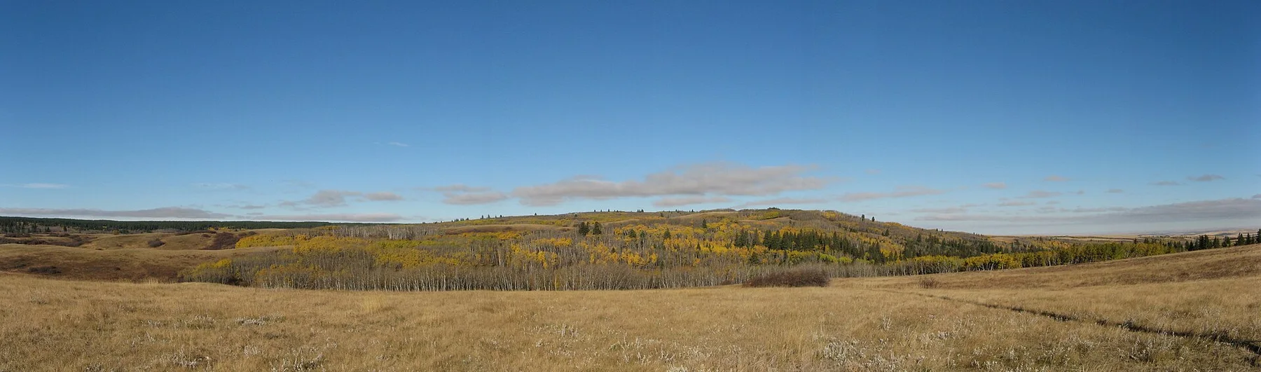
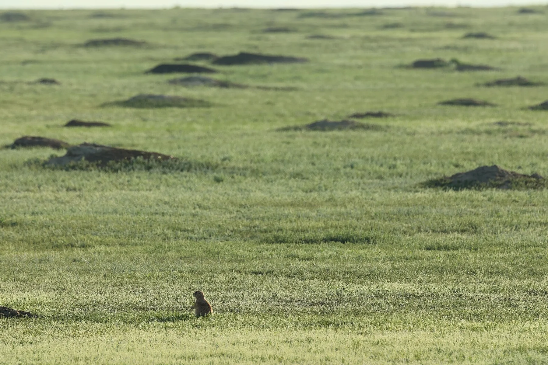
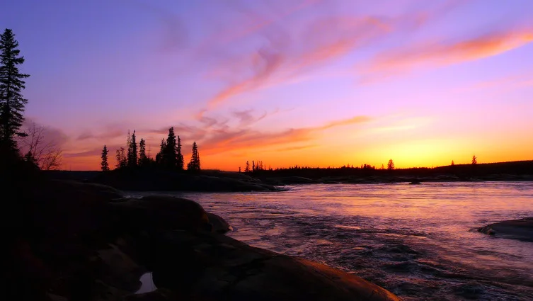
See the transition from inland peatland to Hudson Bay sea ice
Access is specialised, but the landscape explains the bears: raised beach ridges, frozen wetlands and the seasonal formation of sea ice all connect in one view.
Build the trip around access permissions, sea or ice conditions and the short Jul-Nov operating window; leave at least one reserve day.
Look a little closer
Worth discovering
The details that make Wapusk National Park different.
Destination view
01
Polar-bear denning habitat
Pregnant bears use inland banks and ridges for maternity dens.
Photo journal
02
Cape Churchill coast
Tundra meets the broad tidal edge of Hudson Bay.
Destination view
03
Subarctic wetlands
Peatland and shallow pools support huge bird migrations.
Photo journal
A closer look at Wapusk National Park
8 photographs
01Geburtshöhlen 1999-07-0202Sea ice on Hudson Bay near Cape Churchill03Wapusk National Park — view 304Cape Churchill fast ice105Cape Churchill fast ice206Cape Churchill fast ice407Cape Churchill fast ice308Hudson Bay fast ice breaking
Origins and change
The landscape memory of Wapusk National Park
Tundra, peatlands and Hudson Bay coast protect one of the world's most important polar-bear maternity denning areas. This account follows the forces, communities and decisions that made the present landscape.
4 min readHudson Bay lowlands, Canada
Wapusk National Park is centred on Hudson Bay lowlands, where tundra, peatlands and Hudson Bay coast protect one of the world's most important polar-bear maternity denning areas. The strongest reason to make the journey is to see the transition from inland peatland to hudson bay sea ice.
The familiar invitation at Wapusk National Park is “See the transition from inland peatland to Hudson Bay sea ice”, yet that image makes more sense when it is connected to the landform, the local economy and the changes that determined access. Access is specialised, but the landscape explains the bears: raised beach ridges, frozen wetlands and the seasonal formation of sea ice all connect in one view.
Before roads, settlements or protected-area boundaries, the terrain of Wapusk National Park set the basic terms. Sea ice, tundra, exposed coasts and rapidly changing weather control both the scenery and access. Distances that look short on a map can require specialised boats, aircraft or expedition support.
The map understates the role of the sea. At Wapusk National Park, “Polar-bear denning habitat” makes clear that water is both a boundary and the route through which settlements, wildlife and outside connections developed. Pregnant bears use inland banks and ridges for maternity dens.
02
Cultural landscape
The human landscape behind the scenery
Wapusk means 'white bear' in Cree, reflecting a coast long known for polar bears, caribou, geese and seasonal travel. Cree communities used the Hudson Bay lowlands before European fur traders established York Factory to the east as a major gateway into the continent.
Railway and military development around Churchill changed the regional economy, but the vast peatlands between town and coast remained largely roadless. Wapusk National Park was established in 1996 to protect maternity denning areas and subarctic wetlands.
03
Change
A landscape reorganised
The park's modern history is increasingly dominated by climate change. Earlier sea-ice breakup lengthens the period bears spend on land, while thawing permafrost and shifting wetlands alter a landscape whose protection cannot control the offshore ice system on which it depends.
04
Details to read
Where the story becomes visible
At Wapusk National Park, the feature “Polar-bear denning habitat” provides a precise clue to how the landscape works. Pregnant bears use inland banks and ridges for maternity dens. Its position and condition at Wapusk National Park connect physical history with the way people use the place now.
Start with the feature “Cape Churchill coast”, because it condenses a much larger part of the story of Wapusk National Park. Tundra meets the broad tidal edge of Hudson Bay. Within Wapusk National Park, the feature explains why this destination differs from nearby landscapes.
At Wapusk National Park, the feature “Subarctic wetlands” is best understood as part of the surrounding system rather than an isolated stop. Peatland and shallow pools support huge bird migrations. At Wapusk National Park, the detail links local scale with the wider regional pattern.
05
Season and scale
A living landscape, not a frozen scene
A single visit to Wapusk National Park captures only one phase of its annual cycle. For Wapusk National Park, the most reliable visiting window is Jul-Nov.
For Wapusk National Park, the stated visiting window is Jul-Nov, but its practical meaning depends on local weather, water and transport rather than the calendar alone.
Placed within its wider geography, Wapusk National Park is not an isolated exception. Beyond the best-known image of Wapusk National Park feature, Wapusk National Park matters because cape churchill coast and subarctic wetlands place the destination inside a broader regional story.
Chronology
Key dates
Seasonal life on the Hudson Bay coast
Travel, hunting and knowledge followed wildlife and changing ice conditions.
York Factory fur-trade era
The nearby coast became a major entry point for European trade into western Canada.
Wapusk National Park established
Federal protection focused on polar-bear denning habitat and coastal wetlands.
Travel notes
Plan your visit
Time needed
4-7 days
Getting around
Expedition vessel, charter aircraft or authorised local operator
Effort
Demanding / expedition access
Plan first
Permits, operator, weather margin and evacuation conditions
Time of day
Use every safe weather window
Best window
Jul-Nov
Traveller stories
Stories from people who have been here.
First-hand moments, practical notes and overlooked details from Wapusk National Park.