Ancient cedar forest
Old-growth trees and moss-covered ground give the interior a deep temporal scale.
Plan the least frequent boat, ferry or exposed coastal section first. Use early or late light and keep a weather alternative during Mar-Nov.
A steep, rain-rich island where ancient cedar forest rises from subtropical coast to cool mountain ridges within a short distance.
Old-growth trees and moss-covered ground give the interior a deep temporal scale.
Plan the least frequent boat, ferry or exposed coastal section first. Use early or late light and keep a weather alternative during Mar-Nov.
The details that make Yakushima different.
Old-growth trees and moss-covered ground give the interior a deep temporal scale.
Steep mountains rise abruptly above the coast and create multiple ecological zones.
Rain, waterfalls and fast streams animate nearly every part of the forested landscape.
A steep, rain-rich island where ancient cedar forest rises from subtropical coast to cool mountain ridges within a short distance. This account follows the forces, communities and decisions that made the present landscape.
Yakushima rises sharply from the sea south of Kyushu, creating an exceptional vertical sequence of climate and vegetation. Coastal settlements and subtropical plants give way to temperate forest, old-growth cedar and granite summits. The island's famous rain is not a side condition; it shapes streams, moss, forest density and the entire visual atmosphere.
Visitors often encounter Yakushima through the idea of “Ancient cedar forest”, but the destination is more than that single scene. Its landscape carries evidence of work, movement, adaptation and environmental change. Old-growth trees and moss-covered ground give the interior a deep temporal scale.
Continue to practical planningAt Yakushima, the form of the landscape explains many of the choices that came later. Granite mountains occupy much of the interior, cut by fast rivers and waterfalls. Japanese cedar, including trees of great age, grows among broadleaf forest and thick moss. Because the island is steep, short map distances can involve major changes in elevation, weather and ecological zone.
Water is not simply scenery at Yakushima; it organises erosion, habitat and movement. “Ancient cedar forest” is where those roles become easiest to separate and understand. Old-growth trees and moss-covered ground give the interior a deep temporal scale.
At Yakushima, human history is written into settlement and land use rather than separated from the scenery. Forestry, pilgrimage and local belief have long influenced the relationship between people and the mountains. Roads circle much of the coast, where villages, small farms and fishing ports form a different landscape from the interior. Modern conservation exists alongside the memory of intensive cedar use.
A close look at “Granite summits” makes the cultural layer of Yakushima more concrete. Steep mountains rise abruptly above the coast and create multiple ecological zones. At Yakushima, the surviving form links present-day identity with earlier work and settlement.
Formal protection changed how Yakushima was described and managed. At Yakushima, new boundaries, visitor rules and conservation priorities created a public identity that still has to coexist with settlements, customary use and economic pressures. At Yakushima, the consequences are clearest where traditional use, protection and tourism occupy the same ground.
At Yakushima, the feature “Ancient cedar forest” is best understood as part of the surrounding system rather than an isolated stop. Old-growth trees and moss-covered ground give the interior a deep temporal scale. Its position and condition at Yakushima connect physical history with the way people use the place now.
At Yakushima, the feature “Granite summits” is best understood as part of the surrounding system rather than an isolated stop. Steep mountains rise abruptly above the coast and create multiple ecological zones. For Yakushima, that relationship is more informative than treating the feature only as a photograph or checklist item.
Look closely at the feature “Water island” in Yakushima; it carries information that a panoramic view can miss. Rain, waterfalls and fast streams animate nearly every part of the forested landscape. At Yakushima, the detail links local scale with the wider regional pattern.
At Yakushima, season is part of the landscape history, not merely a planning detail. Rain is possible in every season. Spring and autumn often provide strong forest colour and moderate temperatures; summer is humid and can bring powerful storms, while winter places snow on higher summits even when the coast remains mild. The island's vertical relief means several seasons can appear at once.
For Yakushima, the main seasonal constraint is: the strongest planning window is Mar-Nov. For Yakushima, outside it, check weather, daylight, road or ferry schedules and seasonal closures before committing to a fixed route.
For Yakushima, one practical detail matters: ferries, tunnels and weather can change the order of the day. For Yakushima, build the route around the least frequent connection, not the closest viewpoint.
Placed within its wider geography, Yakushima is not an isolated exception. Yakushima belongs to the Osumi Islands and sits along a chain linking Kyushu with the Ryukyu archipelago. For Yakushima, nearby Tanegashima has a very different, lower landscape, making the contrast between neighbouring islands especially clear.
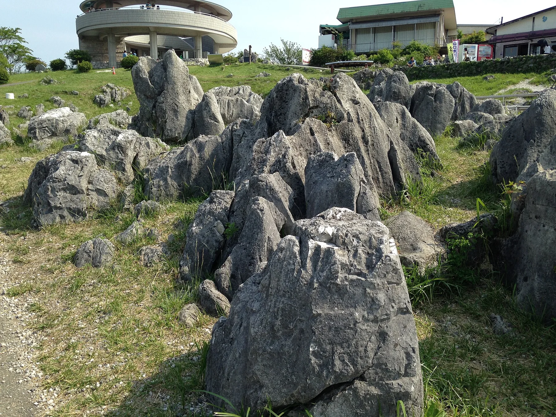
Japan's largest karst plateau combines pale limestone pinnacles, grassland, caves and a long record of human land management.
Explore this place
A high volcanic massif of alpine plateaus, hot springs and vast autumn colour rises at the centre of Hokkaido.
Explore this place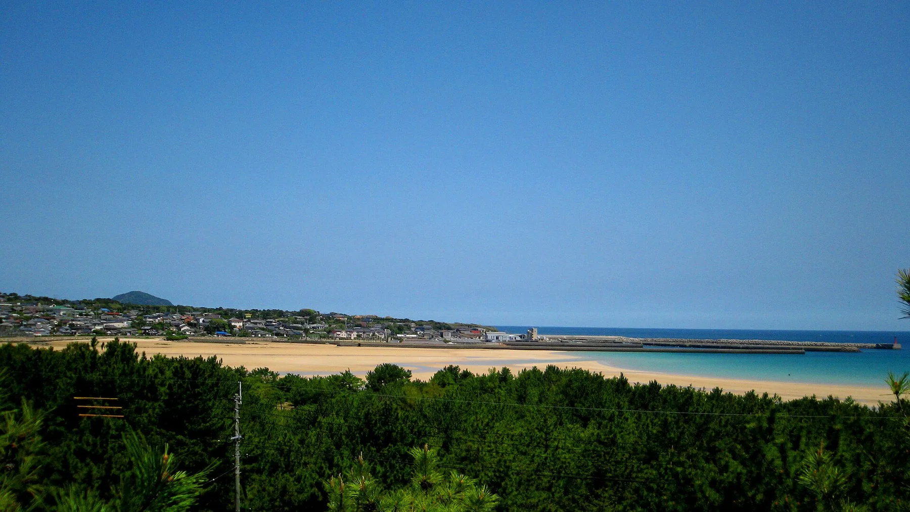
A chain of wooded islands, fishing ports and hidden-Christian heritage extends west of Kyushu into the East China Sea.
Explore this place