Three crater lakes
Closely spaced basins can display strikingly different colours at the same time.
Start early and make this the first exposed stop of the day. Keep a lower route ready if cloud, heat, wind or trail conditions change during Apr-Oct.
Three crater lakes with changing colours sit above agricultural villages and volcanic ridges in central Flores.
Closely spaced basins can display strikingly different colours at the same time.
Start early and make this the first exposed stop of the day. Keep a lower route ready if cloud, heat, wind or trail conditions change during Apr-Oct.
The details that make Kelimutu different.
Closely spaced basins can display strikingly different colours at the same time.
The summit sits within a broader landscape of ridges, cultivated slopes and forest.
Local settlement gives the volcano cultural context and a practical base for exploration.
Three crater lakes with changing colours sit above agricultural villages and volcanic ridges in central Flores. The view is only the surface of a longer story of formation, use and change.
Kelimutu rises above central Flores as a compact volcanic summit containing three crater lakes. The lakes are close together yet can display different colours because of changing mineral and chemical conditions, giving the summit an unusual visual identity.
Many visits to Kelimutu begin with the experience described as “Three crater lakes”. The more revealing question is why it exists here, how people used the surrounding ground and what remains visible from earlier phases. Closely spaced basins can display strikingly different colours at the same time.
Continue to practical planningThe first layer of Kelimutu is geological and ecological rather than scenic. The crater rim is relatively accessible, but the broader landscape includes steep volcanic slopes, forest patches and cultivated valleys. Morning cloud often moves rapidly across the summit and can completely change the view within minutes.
Relief controls far more than the view. At Kelimutu, “Three crater lakes” reveals how elevation divides vegetation, weather, water and the routes available to people. Closely spaced basins can display strikingly different colours at the same time.
Kelimutu has been shaped as much by livelihoods and movement as by natural processes. Villages around Moni and the surrounding highlands provide the social context for the volcano. Agriculture, weaving traditions and local beliefs connect the crater lakes to a lived cultural landscape rather than a detached geological attraction.
The role of “Volcanic highlands” is especially revealing at Kelimutu. The summit sits within a broader landscape of ridges, cultivated slopes and forest. In the history of Kelimutu, it connects the wider regional context with a specific place that can still be examined today.
Economic use reorganised the landscape of Kelimutu. At Kelimutu, extraction, farming or engineered infrastructure created routes and clearings that still influence settlement and the scenery interpreted as natural today. At Kelimutu, that transition remains visible in the contrast between older working features and visitor infrastructure.
At Kelimutu, the significance of the feature “Three crater lakes” goes beyond its visual impact. Closely spaced basins can display strikingly different colours at the same time. At Kelimutu, the detail links local scale with the wider regional pattern.
At Kelimutu, the feature “Volcanic highlands” is best understood as part of the surrounding system rather than an isolated stop. The summit sits within a broader landscape of ridges, cultivated slopes and forest. Within Kelimutu, the feature explains why this destination differs from nearby landscapes.
Start with the feature “Moni and surrounding villages”, because it condenses a much larger part of the story of Kelimutu. Local settlement gives the volcano cultural context and a practical base for exploration. At Kelimutu, it gives a concrete reference point for reading change rather than merely collecting viewpoints.
Kelimutu changes through the year because weather and biological cycles rearrange what can be seen and used. The drier months from April to October usually offer the clearest early-morning conditions. Cloud can still form quickly, and sunrise visits are popular because visibility often deteriorates later in the day.
For Kelimutu, the main seasonal constraint is: the strongest planning window is Apr-Oct. For Kelimutu, outside it, check weather, daylight, road or ferry schedules and seasonal closures before committing to a fixed route.
For Kelimutu, one practical detail matters: cloud, wind and trail conditions can change quickly. For Kelimutu, put the highest or most exposed stop first and keep a lower-level alternative.
Placed within its wider geography, Kelimutu is not an isolated exception. Kelimutu belongs to the long volcanic spine of Flores. For Kelimutu, continuing east or west reveals a sequence of highland villages, active volcanoes and coastal crossings that make the island far more than a single crater destination.
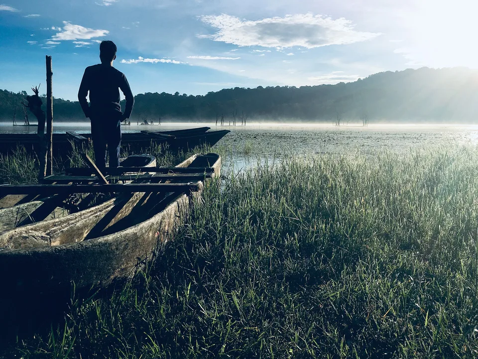
Cool upland villages, waterfalls, coffee gardens and crater-lake views form a greener, quieter interior landscape in northern Bali.
Explore this place
A remote Indonesian island group of granite bays, clear reefs and small settlements between Borneo and the Malay Peninsula.
Explore this place
Volcanic islands, coral water and nutmeg history form a compact archipelago far from Indonesia’s main tourism routes.
Explore this place