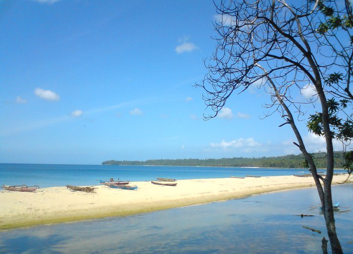
Sumatran mountain forest

Kerinci Seblat

Rainforest, tea country, volcanic peaks and highland villages surround one of the largest protected landscapes in Sumatra.

Sumatran rainforestMount KerinciHighland farms

Location
Sumatra, Indonesia
Best window
May-Sep
Suggested stay
3-5 days
Go for
Rainforest and volcano highlands
The reason to go

Mount Kerinci

The volcano rises above tea plantations and forest, creating the clearest vertical expression of the highlands.

Arrange a local guide or boat where appropriate and use the first or final hours of daylight, when water, wildlife and temperature usually make the experience strongest.

Look a little closer

Worth discovering

The details that make Kerinci Seblat different.

Destination view
01

Mount Kerinci

The volcano rises above tea plantations and forest, creating the clearest vertical expression of the highlands.

Destination view
02

Kerinci valley agriculture

Cinnamon, tea and village land reveal how productive landscapes meet the protected mountain forest.

Photo journal
03

Lake Gunung Tujuh

A high caldera lake offers a quieter counterpoint to the summit route and shows the volcanic complexity of the area.

Photo journal

A closer look at Kerinci Seblat

11 photographs
Deep background

A deeper history of Kerinci Seblat

Rainforest, tea country, volcanic peaks and highland villages surround one of the largest protected landscapes in Sumatra. Its character becomes clearer when geology, settlement and modern protection are considered together.

Kerinci Seblat stretches across a large section of the Bukit Barisan range in western Sumatra. Dense lowland and montane forest, volcanic peaks and inhabited highland basins create a landscape of exceptional vertical range. Mount Kerinci provides a clear landmark, but the protected area is much broader than the summit route.

The familiar invitation at Kerinci Seblat is “Mount Kerinci”, yet that image makes more sense when it is connected to the landform, the local economy and the changes that determined access. The volcano rises above tea plantations and forest, creating the clearest vertical expression of the highlands.

Continue to practical planning
Gunung Kerinci dari Kayu Aro 05See the complete photo journal
Origins

The landform before the landmark

Before roads, settlements or protected-area boundaries, the terrain of Kerinci Seblat set the basic terms. Steep forested slopes feed rivers and waterfalls, while volcanic soils support tea, cinnamon and other crops around the park margins. Higher elevations become cooler and more open, with cloud frequently covering ridges. The contrast between cultivated basin and rainforest wall is especially strong around Kerinci valley.

Dense vegetation hides long views, so detail becomes the guide. At Kerinci Seblat, “Mount Kerinci” offers a way to read water, soil and disturbance inside the forest system. The volcano rises above tea plantations and forest, creating the clearest vertical expression of the highlands.

Settlement and memory

The human landscape behind the scenery

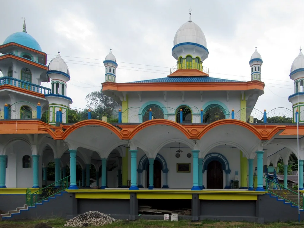
The cultural layer of Kerinci Seblat is easiest to read in homes, fields, paths and local institutions. Communities live close to the forest boundary and depend on agriculture, local roads and regional markets. Traditional houses, mosques and plantation landscapes give the highlands a distinct identity. Conservation challenges are visible because protected forest and productive land meet directly.

At Kerinci Seblat, “Kerinci valley agriculture” should not be treated as a decorative detail. Cinnamon, tea and village land reveal how productive landscapes meet the protected mountain forest. The feature records how construction, movement or livelihood adapted to local conditions at Kerinci Seblat.

Reorganisation

How access and attention changed the place

Formal protection changed how Kerinci Seblat was described and managed. At Kerinci Seblat, new boundaries, visitor rules and conservation priorities created a public identity that still has to coexist with settlements, customary use and economic pressures. At Kerinci Seblat, the consequences are clearest where traditional use, protection and tourism occupy the same ground.

Field notes

The evidence still visible on the ground

At Kerinci Seblat, the significance of the feature “Mount Kerinci” goes beyond its visual impact. The volcano rises above tea plantations and forest, creating the clearest vertical expression of the highlands. At Kerinci Seblat, it gives a concrete reference point for reading change rather than merely collecting viewpoints.

At Kerinci Seblat, the feature “Kerinci valley agriculture” is best understood as part of the surrounding system rather than an isolated stop. Cinnamon, tea and village land reveal how productive landscapes meet the protected mountain forest. At Kerinci Seblat, the detail links local scale with the wider regional pattern.

At Kerinci Seblat, the feature “Lake Gunung Tujuh” is one of the most useful pieces of visible evidence. A high caldera lake offers a quieter counterpoint to the summit route and shows the volcanic complexity of the area. At Kerinci Seblat, the detail links local scale with the wider regional pattern.

Present day

What continues to change

At Kerinci Seblat, light, water and temperature reveal different structures at different times of year. Drier months generally offer better access, though tropical rain remains possible at any time. Cloud often builds during the day, and high routes can be cold despite the equatorial location. Agricultural cycles and road conditions also influence how the surrounding villages feel.

For Kerinci Seblat, the main seasonal constraint is: the strongest planning window is May-Sep. For Kerinci Seblat, outside it, check weather, daylight, road or ferry schedules and seasonal closures before committing to a fixed route.

For Kerinci Seblat, one practical detail matters: cloud, wind and trail conditions can change quickly. For Kerinci Seblat, put the highest or most exposed stop first and keep a lower-level alternative.

Placed within its wider geography, Kerinci Seblat is not an isolated exception. For Kerinci Seblat, the wider context shows that, the park forms part of the wider Sumatran mountain chain and protects watersheds extending across several provinces. For Kerinci Seblat, looking beyond Mount Kerinci toward lakes, forest-edge villages and lower valleys provides a more complete sense of the region.

Travel notes

Plan your visit

Time needed
3-5 days
Getting around
Car to access points, then walking or hiking
Effort
Moderate
Plan first
Accommodation and seasonal transport
Time of day
Start early for clearer conditions and more time
Best window
May-Sep
Traveller stories

Stories from people who have been here.

First-hand moments, practical notes and overlooked details from Kerinci Seblat.

Loading traveller stories…

Browse all traveller stories ↗

Keep exploring

Where next?

All place stories