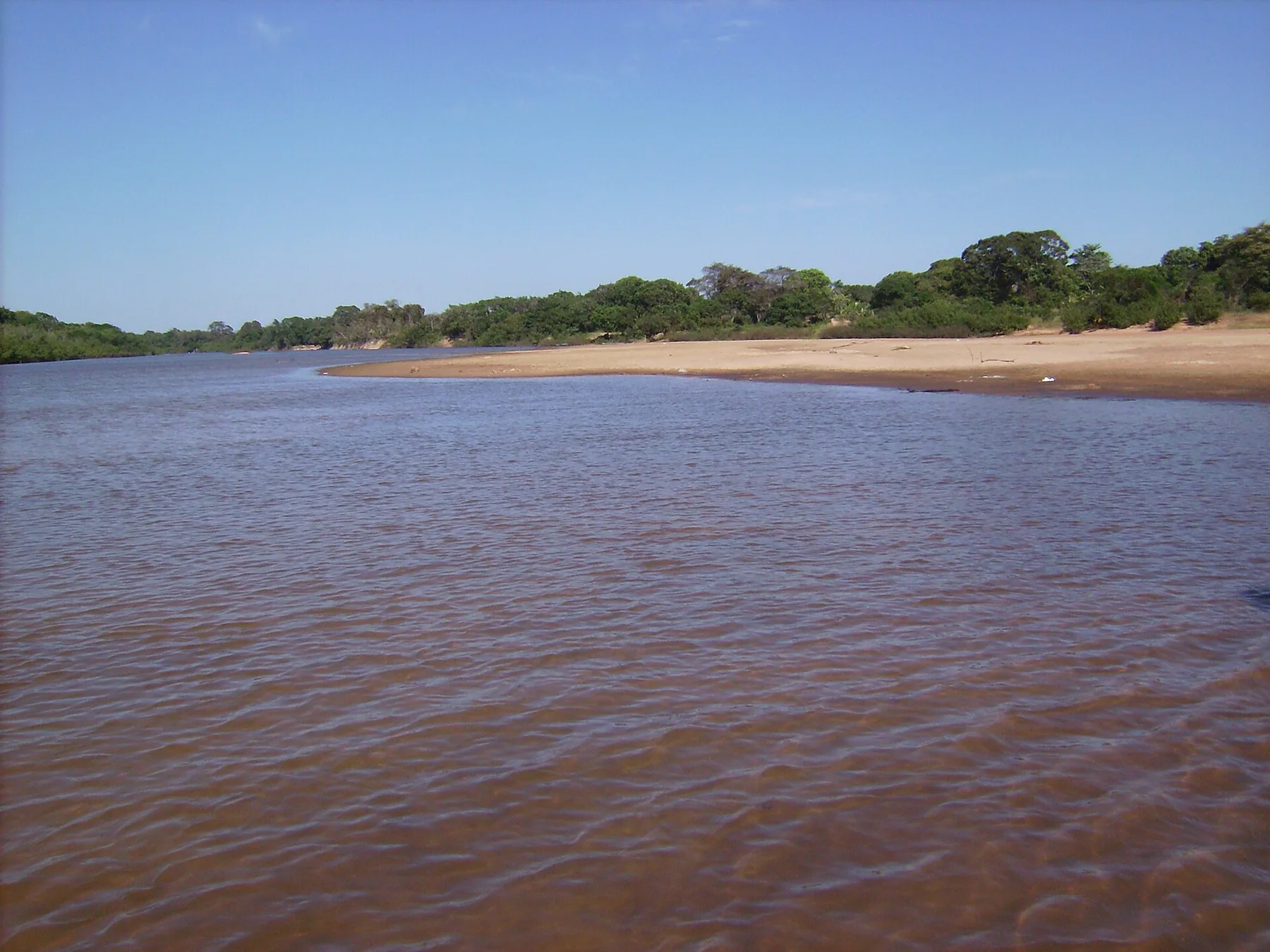
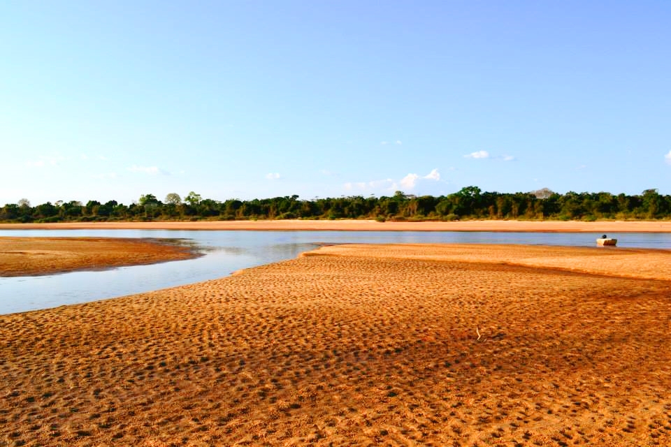
At Lencois Maranhenses, light, water and temperature reveal different structures at different times of year. The strongest lagoon period usually follows the rains, often from June into September, though annual conditions vary. Later in the dry season many pools shrink or disappear, revealing a very different landscape of uninterrupted sand. Rainy months bring greener edges and more challenging movement.
For Lencois Maranhenses, the main seasonal constraint is: the strongest planning window is Jun-Sep. For Lencois Maranhenses, outside it, check weather, daylight, road or ferry schedules and seasonal closures before committing to a fixed route.
For Lencois Maranhenses, one practical detail matters: distances, fuel, food and mobile coverage can be less predictable than the map suggests. For Lencois Maranhenses, carry offline maps and keep a margin in the schedule.
Placed within its wider geography, Lencois Maranhenses is not an isolated exception. For Lencois Maranhenses, the wider context shows that, the national park belongs to a wider northern Brazilian coast of river deltas, mangroves and dune systems extending toward the Parnaiba Delta and Jericoacoara. For Lencois Maranhenses, seeing these connected landscapes clarifies that Lencois is part of an active coastal process, not an isolated field of sand.