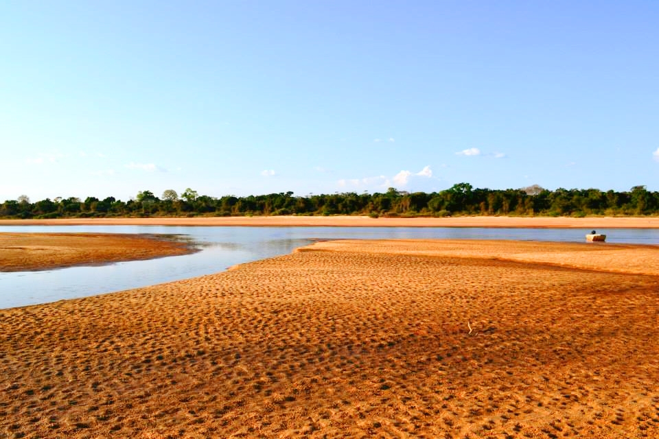
Deep-time landscape

Serra da Capivara

Sandstone cliffs, caatinga forest and an extraordinary concentration of rock art preserve deep human history in northeastern Brazil.

Rock paintingsSandstone sheltersCaatinga

Location
Piaui, Brazil
Best window
May-Sep
Suggested stay
2-3 days
Go for
Rock art and dry forest
The reason to go

Boqueirao da Pedra Furada

A monumental rock shelter and surrounding cliffs form one of the best-known archaeological settings in the park.

Check opening days or local access first, then connect the main site to the surrounding streets, paths or landscape instead of treating it as an isolated stop.

Look a little closer

Worth discovering

The details that make Serra da Capivara different.

Photo journal
01

Boqueirao da Pedra Furada

A monumental rock shelter and surrounding cliffs form one of the best-known archaeological settings in the park.

Destination view
02

Rock art sequences

Painted scenes record diverse animals, social activity and symbolic expression across many sites.

Photo journal
03

Caatinga plateau

Dry forest and sandstone relief provide the environmental context for long human occupation.

Photo journal

A closer look at Serra da Capivara

15 photographs
Landscape and history

A deeper history of Serra da Capivara

Sandstone cliffs, caatinga forest and an extraordinary concentration of rock art preserve deep human history in northeastern Brazil. The deeper story links its visible features with the people and changes behind them.

Serra da Capivara protects a rugged dryland landscape with hundreds of archaeological sites, many containing painted rock shelters. The images range across animals, people, movement and ritual scenes, placing human presence directly within the sandstone formations. The importance of the area comes from both the art and the long sequence of research around settlement in the Americas.

Visitors often encounter Serra da Capivara through the idea of “Boqueirao da Pedra Furada”, but the destination is more than that single scene. Its landscape carries evidence of work, movement, adaptation and environmental change. A monumental rock shelter and surrounding cliffs form one of the best-known archaeological settings in the park.

Continue to practical planning
Achou a pedra furada?See the complete photo journal
Landform

The forces behind the first impression

Before roads, settlements or protected-area boundaries, the terrain of Serra da Capivara set the basic terms. Erosion has separated plateaus into cliffs, canyons, shelters and isolated walls. Caatinga vegetation appears sparse in the dry season but responds quickly to rain. Viewpoints reveal a broad semi-arid region, while the archaeological sites are often experienced at close range beneath overhangs.

Altitude turns distance into effort and creates abrupt ecological boundaries. At Serra da Capivara, “Boqueirao da Pedra Furada” provides a useful reference point for understanding that vertical structure. A monumental rock shelter and surrounding cliffs form one of the best-known archaeological settings in the park.

Human history

Routes, livelihoods and belonging

At Serra da Capivara, human history is written into settlement and land use rather than separated from the scenery. Nearby communities, museums and conservation teams form part of the modern cultural landscape. The growth of Sao Raimundo Nonato as a research and visitor centre shows how archaeology can influence local identity and development, even where long distances and limited infrastructure remain significant.

At Serra da Capivara, “Rock art sequences” should not be treated as a decorative detail. Painted scenes record diverse animals, social activity and symbolic expression across many sites. The feature records how construction, movement or livelihood adapted to local conditions at Serra da Capivara.

Change

The modern turning point

Formal protection changed how Serra da Capivara was described and managed. At Serra da Capivara, new boundaries, visitor rules and conservation priorities created a public identity that still has to coexist with settlements, customary use and economic pressures. Serra da Capivara should therefore be read as an evolving cultural landscape rather than a timeless scene.

On the ground

The evidence still visible on the ground

At Serra da Capivara, the significance of the feature “Boqueirao da Pedra Furada” goes beyond its visual impact. A monumental rock shelter and surrounding cliffs form one of the best-known archaeological settings in the park. For Serra da Capivara, that relationship is more informative than treating the feature only as a photograph or checklist item.

At Serra da Capivara, the significance of the feature “Rock art sequences” goes beyond its visual impact. Painted scenes record diverse animals, social activity and symbolic expression across many sites. Within Serra da Capivara, the feature explains why this destination differs from nearby landscapes.

At Serra da Capivara, the feature “Caatinga plateau” is best understood as part of the surrounding system rather than an isolated stop. Dry forest and sandstone relief provide the environmental context for long human occupation. For Serra da Capivara, that relationship is more informative than treating the feature only as a photograph or checklist item.

Continuity

Season, scale and the present day

A single visit to Serra da Capivara captures only one phase of its annual cycle. The drier middle part of the year usually makes routes and rock shelters easier to access. Heat remains a major feature, and the landscape can look markedly different after rain. Early or late daylight reveals both the relief and the pigments more clearly than harsh midday conditions.

For Serra da Capivara, the main seasonal constraint is: the strongest planning window is May-Sep. For Serra da Capivara, outside it, check weather, daylight, road or ferry schedules and seasonal closures before committing to a fixed route.

For Serra da Capivara, one practical detail matters: opening days can be more limiting than travel time. For Serra da Capivara, check the principal site first, then organise the wider route around it.

Placed within its wider geography, Serra da Capivara is not an isolated exception. For Serra da Capivara, the wider context shows that, the park belongs to a larger archaeological and ecological region in Piaui, connected with Serra das Confusoes and other caatinga landscapes. For Serra da Capivara, its rock art should therefore be understood within a broad network of shelters, water sources and ancient movement rather than as isolated panels.

Travel notes

Plan your visit

Time needed
2-3 days
Getting around
Walking locally, with a car or regional transport between stops
Effort
Moderate
Plan first
Access conditions, permits or a local guide
Time of day
Morning and late afternoon
Best window
May-Sep
Traveller stories

Stories from people who have been here.

First-hand moments, practical notes and overlooked details from Serra da Capivara.

Loading traveller stories…

Browse all traveller stories ↗

Keep exploring

Where next?

All place stories