Canyon and waterfalls
Clear streams cut through quartzite to form pools, falls and narrow gorges.
Start early and make this the first exposed stop of the day. Keep a lower route ready if cloud, heat, wind or trail conditions change during Apr-Sep.
Quartzite ridges, cerrado grasslands, waterfalls and extraordinary plant diversity define a highland north of Belo Horizonte.
Clear streams cut through quartzite to form pools, falls and narrow gorges.
Start early and make this the first exposed stop of the day. Keep a lower route ready if cloud, heat, wind or trail conditions change during Apr-Sep.
The details that make Serra do Cipo different.
Clear streams cut through quartzite to form pools, falls and narrow gorges.
Rocky highland grasslands support exceptionally diverse plant communities.
Long open skylines give the region a different character from Brazil’s forested mountains.
Quartzite ridges, cerrado grasslands, waterfalls and extraordinary plant diversity define a highland north of Belo Horizonte. This account follows the forces, communities and decisions that made the present landscape.
Serra do Cipo forms part of the Espinhaco mountain chain in Minas Gerais. It rises as a long quartzite highland above the surrounding interior, combining rocky grassland, cerrado vegetation and numerous clear streams.
The familiar invitation at Serra do Cipo is “Canyon and waterfalls”, yet that image makes more sense when it is connected to the landform, the local economy and the changes that determined access. Clear streams cut through quartzite to form pools, falls and narrow gorges.
Continue to practical planningBefore roads, settlements or protected-area boundaries, the terrain of Serra do Cipo set the basic terms. The terrain alternates between open plateaus, rugged ridges and deeply cut valleys. Thin soils and exposed rock support an unusually rich flora, while waterfalls descend from the highlands into warmer lower country.
Relief controls far more than the view. At Serra do Cipo, “Canyon and waterfalls” reveals how elevation divides vegetation, weather, water and the routes available to people. Clear streams cut through quartzite to form pools, falls and narrow gorges.
Serra do Cipo has been shaped as much by livelihoods and movement as by natural processes. Small communities, farms and weekend settlements occupy the main road corridor. The area is a major recreation landscape for Belo Horizonte but remains large enough for quieter multi-day routes away from the most visited waterfalls.
The role of “Campos rupestres” is especially revealing at Serra do Cipo. Rocky highland grasslands support exceptionally diverse plant communities. In the history of Serra do Cipo, it connects the wider regional context with a specific place that can still be examined today.
The decisive modern change at Serra do Cipo was access. At Serra do Cipo, transport and visitor infrastructure made the landscape easier to reach while concentrating pressure at the few points where roads, boats or trails enter it. At Serra do Cipo, the consequences are clearest where traditional use, protection and tourism occupy the same ground.
At Serra do Cipo, the significance of the feature “Canyon and waterfalls” goes beyond its visual impact. Clear streams cut through quartzite to form pools, falls and narrow gorges. Its position and condition at Serra do Cipo connect physical history with the way people use the place now.
Start with the feature “Campos rupestres”, because it condenses a much larger part of the story of Serra do Cipo. Rocky highland grasslands support exceptionally diverse plant communities. Within Serra do Cipo, the feature explains why this destination differs from nearby landscapes.
At Serra do Cipo, the feature “Espinhaco ridges” is best understood as part of the surrounding system rather than an isolated stop. Long open skylines give the region a different character from Brazil’s forested mountains. For Serra do Cipo, that relationship is more informative than treating the feature only as a photograph or checklist item.
A single visit to Serra do Cipo captures only one phase of its annual cycle. The drier months from April to September provide the most reliable trail conditions and cooler temperatures. Summer rains strengthen waterfalls but can make exposed routes hotter and storms more frequent.
For Serra do Cipo, the main seasonal constraint is: the strongest planning window is Apr-Sep. For Serra do Cipo, outside it, check weather, daylight, road or ferry schedules and seasonal closures before committing to a fixed route.
For Serra do Cipo, one practical detail matters: cloud, wind and trail conditions can change quickly. For Serra do Cipo, put the highest or most exposed stop first and keep a lower-level alternative.
Placed within its wider geography, Serra do Cipo is not an isolated exception. Serra do Cipo belongs to the broader Espinhaco Range, a long mountain system with distinctive geology and biodiversity. For Serra do Cipo, nearby historic towns and cerrado landscapes add cultural and ecological context.

A cerrado landscape of flat-topped sandstone hills, clear rivers, waterfalls and palm-lined valleys in Brazil's southern Maranhao interior.
Explore this place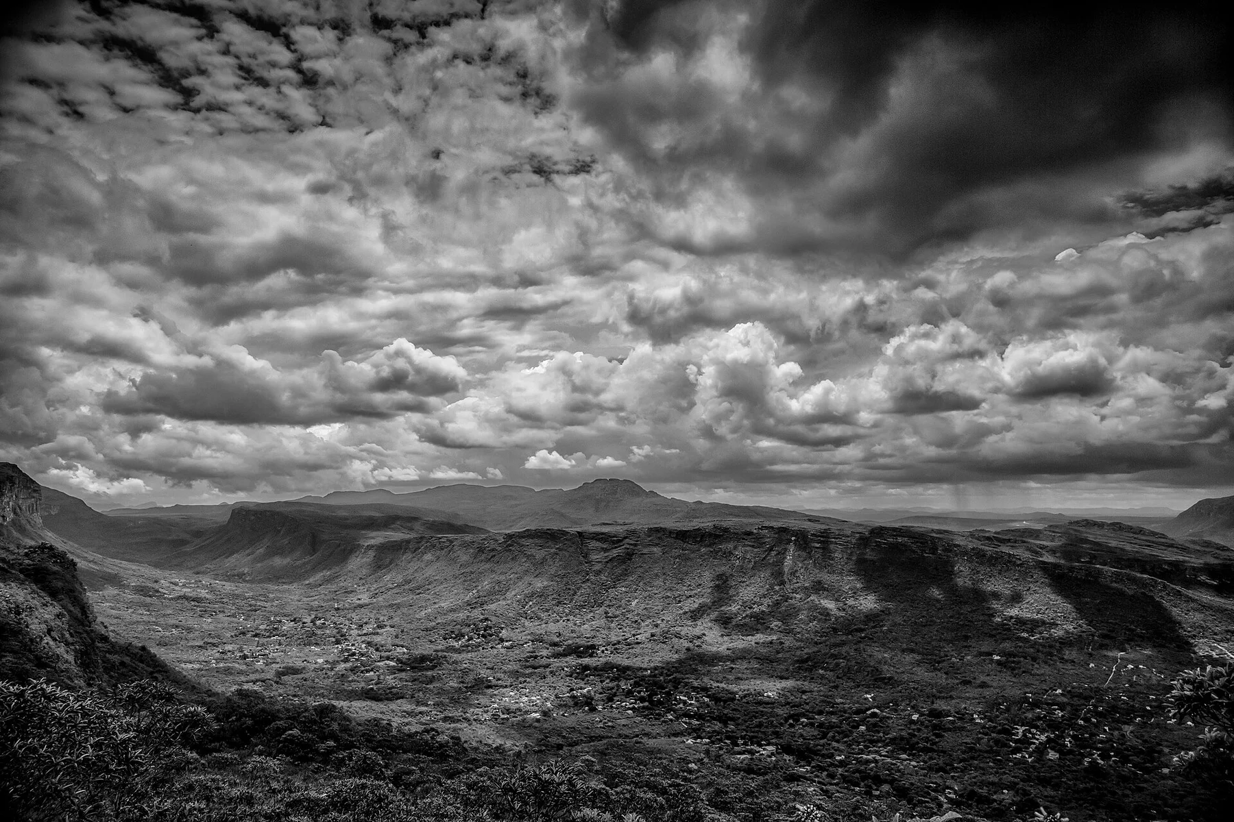
Table mountains, deep valleys, waterfalls, caves and former diamond towns form a broad highland in the interior of Bahia.
Explore this place
A high Brazilian cerrado plateau of quartzite ridges, clear rivers, waterfalls and open vegetation under a broad central sky.
Explore this place