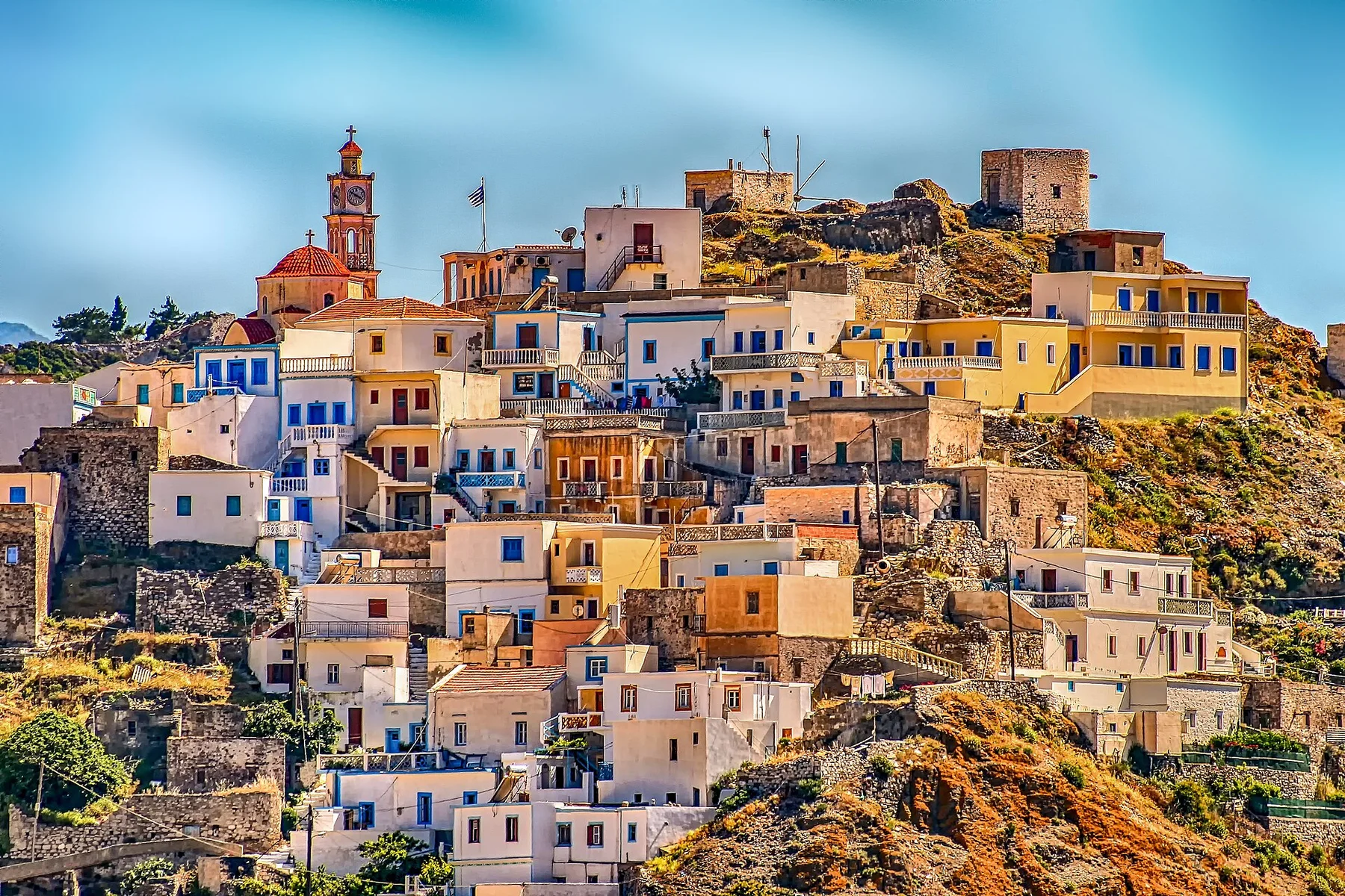
Pindus stone country

Zagori

Stone villages, arched bridges, forest and deep limestone gorges form a coherent mountain landscape in northwestern Greece.

Stone villagesVikos gorgeArched bridges

Location
Pindus Mountains, Greece
Best window
Apr-Jun, Sep-Oct
Suggested stay
2-4 days
Go for
Village and gorge route
The reason to go

Vikos gorge

A deep limestone canyon defines the central landscape and links high viewpoints with springs and river paths.

Start early and make this the first exposed stop of the day. Keep a lower route ready if cloud, heat, wind or trail conditions change during Apr-Jun, Sep-Oct.

Look a little closer

Worth discovering

The details that make Zagori different.

Photo journal
01

Vikos gorge

A deep limestone canyon defines the central landscape and links high viewpoints with springs and river paths.

Photo journal
02

Stone bridges

Elegant arched bridges preserve the routes that once connected villages across rivers and ravines.

Photo journal
03

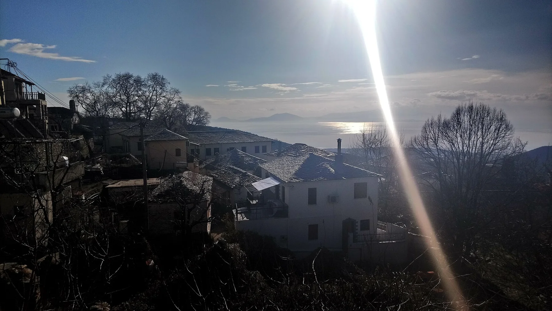
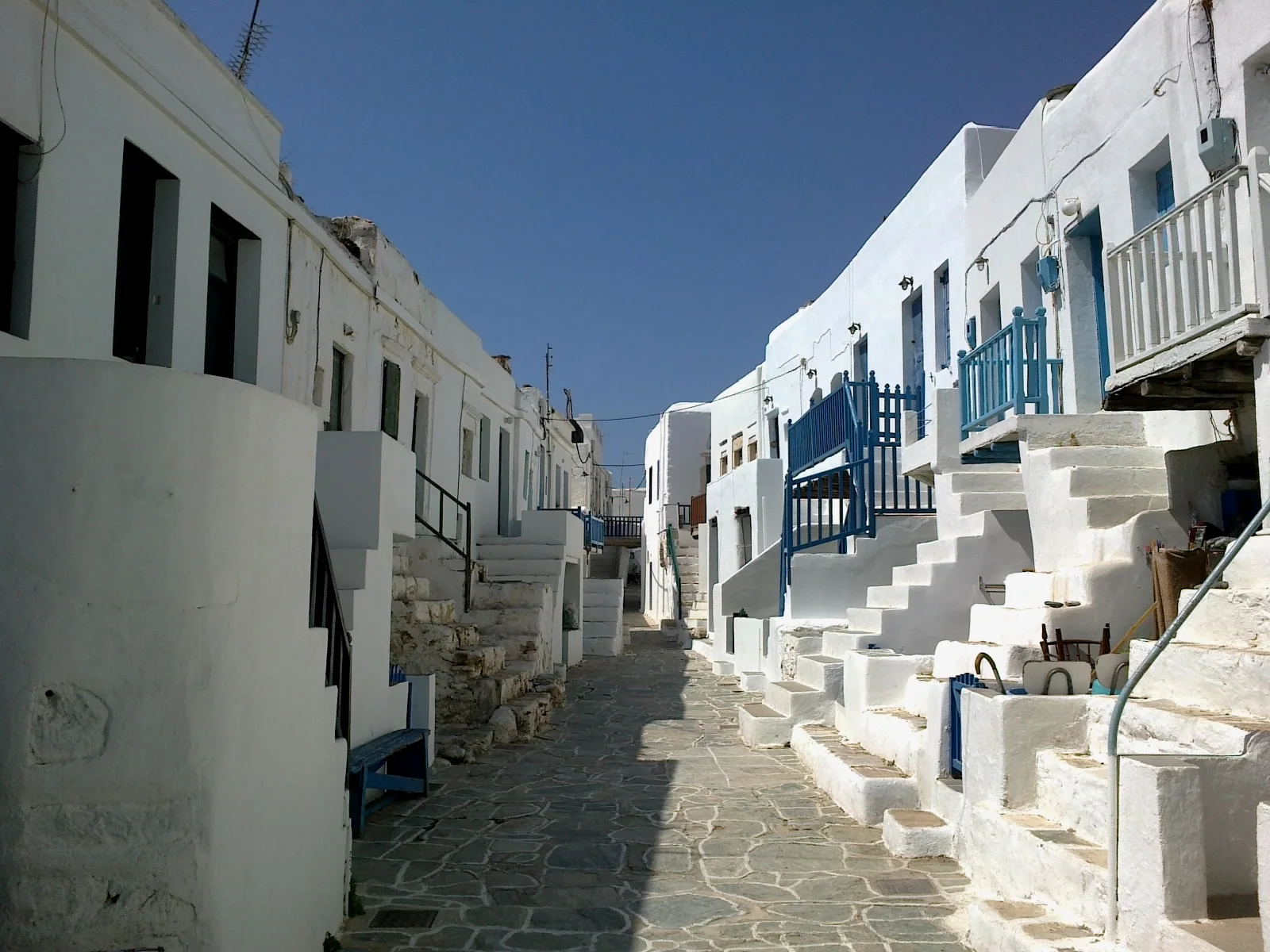
Village architecture

Local stone unifies houses, streets, churches and walls across settlements with different histories.

Photo journal

A closer look at Zagori

16 photographs
Beyond the surface

The making of Zagori

Stone villages, arched bridges, forest and deep limestone gorges form a coherent mountain landscape in northwestern Greece. The view is only the surface of a longer story of formation, use and change.

Zagori is a network of mountain villages rather than a single destination. Settlements built from local stone occupy ridges and valleys around the Vikos-Aoos landscape, connected historically by paths and arched bridges. The architectural consistency gives the region a strong identity across a large and topographically complex area.

The familiar invitation at Zagori is “Vikos gorge”, yet that image makes more sense when it is connected to the landform, the local economy and the changes that determined access. A deep limestone canyon defines the central landscape and links high viewpoints with springs and river paths.

Continue to practical planning
View of Gamilla from Aristi VillageSee the complete photo journal
Physical setting

Why the terrain has this form

The first layer of Zagori is geological and ecological rather than scenic. Limestone controls the natural form. The Vikos gorge cuts deeply through the plateau, springs emerge along its base, and the surrounding Pindus mountains hold forest, alpine meadows and river valleys. At village scale, stone walls and roofs mirror the colour and texture of the terrain.

Altitude turns distance into effort and creates abrupt ecological boundaries. At Zagori, “Vikos gorge” provides a useful reference point for understanding that vertical structure. A deep limestone canyon defines the central landscape and links high viewpoints with springs and river paths.

Human history

The human landscape behind the scenery

The cultural layer of Zagori is easiest to read in homes, fields, paths and local institutions. Many villages prospered through trade and migration, funding schools, churches, bridges and substantial houses. Population decline later left some settlements quiet or partially restored. Today, guesthouses and tourism support new activity, but the historical relationship between village networks and footpaths remains central.

At Zagori, the feature described as “Stone bridges” offers a second line of evidence. Elegant arched bridges preserve the routes that once connected villages across rivers and ravines. Within Zagori, it shows how local knowledge and practical use became embedded in the landscape.

Modern history

From local landscape to protected destination

Formal protection changed how Zagori was described and managed. At Zagori, new boundaries, visitor rules and conservation priorities created a public identity that still has to coexist with settlements, customary use and economic pressures. At Zagori, that transition remains visible in the contrast between older working features and visitor infrastructure.

On the ground

The evidence still visible on the ground

At Zagori, the feature “Vikos gorge” is best understood as part of the surrounding system rather than an isolated stop. A deep limestone canyon defines the central landscape and links high viewpoints with springs and river paths. For Zagori, that relationship is more informative than treating the feature only as a photograph or checklist item.

At Zagori, the significance of the feature “Stone bridges” goes beyond its visual impact. Elegant arched bridges preserve the routes that once connected villages across rivers and ravines. For Zagori, that relationship is more informative than treating the feature only as a photograph or checklist item.

At Zagori, the significance of the feature “Village architecture” goes beyond its visual impact. Local stone unifies houses, streets, churches and walls across settlements with different histories. Within Zagori, the feature explains why this destination differs from nearby landscapes.

Living landscape

The current chapter

A single visit to Zagori captures only one phase of its annual cycle. Spring brings strong water flow, flowers and vivid forest. Early summer and autumn are well suited to village-to-village movement, while high summer can be hot in exposed areas. Winter adds snow and a more isolated character, especially in the higher eastern villages.

For Zagori, the main seasonal constraint is: the strongest planning window is Apr-Jun, Sep-Oct. For Zagori, outside it, check weather, daylight, road or ferry schedules and seasonal closures before committing to a fixed route.

For Zagori, one practical detail matters: cloud, wind and trail conditions can change quickly. For Zagori, put the highest or most exposed stop first and keep a lower-level alternative.

Placed within its wider geography, Zagori is not an isolated exception. Zagori belongs to the wider Pindus region, with connections toward Konitsa, Metsovo and the Albanian border. For Zagori, the Aoos river, national parks and neighbouring mountain communities reveal a larger Balkan highland system beyond the best-known gorge viewpoints.
Travel notes

Plan your visit

Time needed
2-4 days
Getting around
Car to access points, then walking or hiking
Effort
Moderate
Plan first
Opening days and any limited-entry sites
Time of day
Start early for clearer conditions and more time
Best window
Apr-Jun, Sep-Oct
Traveller stories

Stories from people who have been here.

First-hand moments, practical notes and overlooked details from Zagori.

Loading traveller stories…

Browse all traveller stories ↗

Keep exploring

Where next?

All place stories